Google Maps, the amateur, and the 390-million-year-old crater
A recent discovery in Quebec by an amateur astronomer using readily available mapping technology underscores the profound and often overlooked potential of citizen science in planetary geology.
AI-generated image
Can a casual exploration on a digital map lead to a significant scientific breakthrough? The recent confirmation of a massive 390-million-year-old meteorite crater in Quebec, initially spotted by an amateur astronomer browsing Google Maps, emphatically suggests it can. This discovery not only adds a remarkable geological feature to our planet's known history but also serves as a compelling testament to the democratizing power of readily available technology and the boundless potential of citizen science.
The story began in 2024 when Joël Lapointe, an amateur astronomer, was planning a camping trip in Quebec's Côte-Nord region. While examining satellite images on Google Maps, he noticed a strikingly circular depression in the landscape, centered on Lake Marsal. Its nearly perfect circular shape and considerable size immediately struck him as unusual, prompting him to contact experts.
His intuition proved well-founded. Geoscientists, including French geophysicist Pierre Rochette and planetary geologist Gordon Osinski of Western University, were intrigued. An expedition in October 2025 confirmed the feature to be a genuine impact crater. The team found unequivocal evidence, such as shatter cones—unique rock formations caused by intense shockwaves from impacts—and areas of impact melt rock, material formed under the extreme temperatures and pressures of a cosmic collision. Samples collected from the site subsequently dated the crater's formation to approximately 390 million years ago, making it an ancient relic from a time long before the dinosaurs.
The Unsung Heroes of Observational Science
This discovery is a powerful endorsement of citizen science. Joël Lapointe’s experience echoes a long tradition where astute amateurs make pivotal observations that professional scientists might otherwise miss. Equipped with tools like Google Maps, which provide unprecedented access to high-resolution satellite imagery, anyone with a keen eye and a curious mind can become a virtual explorer. It puts the observational capabilities of a satellite almost literally in the hands of the public, enabling unexpected contributions to fields ranging from archaeology to planetary science. Lapointe himself shared this sentiment, encouraging everyone not to dismiss their intuition, even outside their area of expertise, as reported by Radio-Canada.
What makes this particularly striking is the sheer scale of the find: a crater approximately 25 kilometers in diameter, placing it among the largest impact structures recently identified on Earth, as noted by Revista Galileu. While only one or two new impact structures are typically confirmed each year globally, the ability of an individual to initiate such a significant discovery from their desk chair highlights a paradigm shift in how scientific data can be gathered and interpreted. It reminds us that fundamental discoveries aren't always confined to specialized laboratories or observatories but can emerge from everyday tools and a fresh perspective.
The Indispensable Role of Expert Validation
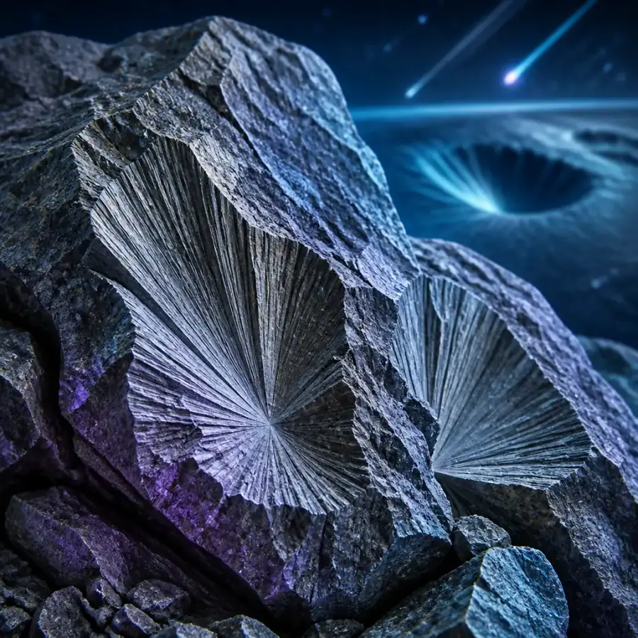
While the initial sighting came from a non-expert and a digital map, the rigorous process of scientific verification remains paramount. Lapointe's initial observation, though compelling, was just the first step. The involvement of seasoned geologists like Osinski and Rochette, the painstaking field expeditions, and the laboratory analysis of rock samples—including the search for shock metamorphism features like shatter cones and impact melt rock—were all critical to formally confirming the crater's extraterrestrial origin. As Osinski explained in a statement published by NASA, shatter cones are “the only unequivocal evidence of an impact event that can be seen with the naked eye in the field.” This collaboration between citizen observer and professional scientist is, in our view, the ideal model for accelerating discovery, ensuring that intuition is met with empirical evidence and scientific method.
A Window into Earth's Deep Past
The Uhackatik Crater, named after consultations with the Ekuanitshit Innu Council, offers a unique glimpse into Earth's ancient history. Formed 390 million years ago, it predates the emergence of dinosaurs and mammoths, marking a period when early amphibians were just beginning to colonize land. The exceptional preservation of this structure, located in a region of Canada known for its ancient and stable geological formations, provides invaluable data for planetary geology. It helps us understand the frequency and intensity of ancient impact events, and how our planet has literally been shaped by cosmic forces over eons. With Canada already home to 31 confirmed impact craters, more than any other nation, its stable bedrock is a literal canvas for cosmic history.
In our view, the discovery of the Uhackatik Crater is more than just another data point for geologists. It is a powerful narrative about how curiosity, combined with accessible technology and scientific collaboration, continues to unlock the planet's deepest secrets. It serves as an inspiring call to action for amateur enthusiasts everywhere, reminding us that the next great discovery might just be a click away on a digital map, waiting for a keen eye to notice something truly extraordinary.
No topics yet: start the first one.
More stories
Venice's Hidden Freshwater: A Treasure Best Left Untouched
A vast subterranean freshwater reservoir near Venice holds immense potential for a drought-stricken region, but its strategic importance lies in protection and precise management, not exploitation.
The Ice Walls Are Falling: A Climate Crisis Beyond Sea Level Rise
The rapid melting of polar ice caps and glaciers is not just raising sea levels; it's unleashing a cascade of environmental feedback loops that accelerate global warming and reshape our planet's future.