The "monster" El Niño headline is the least useful part of this story
Comparing 2026 to 1997 helps governments prepare, but it is a poor forecast, and the real value lies in the monitoring that tells us months ahead what is coming.
Photo: NASA Earth Observatory / Lauren Dauphin / Wikimedia Commons (Public domain)
Is it useful to call an El Niño a "monster"? It certainly gets clicks. Whether it tells you what will happen to your street, your harvest or your reservoir is another matter, and the answer is mostly no.
Here is what we know. As ScienceDaily's headline puts it, NASA warns that this year's El Niño could be even bigger than the legendary 1997 event. The documentation we have for that piece is only the headline, so we can't tell you what measurements drive the comparison. Mexican figures fill in some of the picture: according to Récord's coverage of a UNAM and national weather service report, the event reached 2.0 °C on the RONI index in August-October, enough for the "very strong" category, and its evolution is being compared with 1982-83, 1997-98 and 2015-16. The same article says NOAA's November 12 update gives a probability above 79% that it stays strong to very strong through January-March 2027.
A comparison is a map of risks, not a forecast
The 1997 analogy does one job well. It tells emergency managers which kinds of things went wrong last time, so they know where to look. That is valuable. In Mexico, researchers went back through the three biggest historical episodes and found that some regions ran up to 1.5 °C colder than usual in those winters, and that spring brought less rain and more heat. They also stress that this does not mean the pattern will repeat exactly.
That caveat is the whole point. El Niño shifts the odds. It doesn't write the script. The same coverage shows regional contrasts: the northwest saw above-average rain in past events, while the Gulf of Mexico saw more episodes of strong winds from northers and cold fronts. Summer, meanwhile, brings less rain than normal in the center and south, according to TV Azteca. An analogy that fits one place can fail a few hundred kilometers away.
We think the "bigger than 1997" framing also invites a bad reading. Readers hear a ranking, as if disaster scales with the headline. But damage depends on what sits in the path: reservoirs, drainage, hillside housing, crop calendars. Two events of equal strength can hurt very differently.
Context matters more than the rank
The coverage also contains a warning against over-attribution. Mexico recorded its hottest September on record at a national mean of 26.5 °C, and the share of the country affected by drought grew from 2.1% in June to 12.2% by the end of September. Récord is explicit that these figures describe observed conditions and should not be pinned on El Niño alone. We agree. The Guardian reports the event as the strongest in at least 1,000 years and a "risk multiplier" hanging over the climate talks in Turkey. In our view, a claim that sweeping is one more reason not to treat any single past event, 1997 included, as the yardstick.
The scoop is the lead time
What strikes us as underrated is how early all of this was known. By mid-August, NOAA's Climate Prediction Center was already putting the probability of a very strong event above 90%, according to one of the summaries we reviewed. Mexican scientists are launching a bimonthly tracking series. A U.S. Embassy alert names seven Pacific states at risk of floods and landslides, and Santa Rosa has declared a local emergency ahead of the strengthening event.
That is the real achievement: monitoring and forecasting turned a vague climate cycle into months of warning. One Mexican researcher interviewed by TV Azteca says that knowing months ahead should be an opportunity to prepare, for example by looking after water reserves and updating civil-protection plans for Pacific cyclones.
Read "monster" as a prompt to act
Treat the word as a call to prepare, not as a prediction. Ignore the ranking against 1997 and look at the regional outlook from your national weather service. Ask your local authorities whether reservoirs, drainage and evacuation plans have been reviewed. And keep in mind that peer-reviewed analysis of this specific event will come later. For now, much of what circulates is agency outlooks and press coverage. The early warning deserves the credit, and the headline doesn't.
No topics yet: start the first one.
More stories
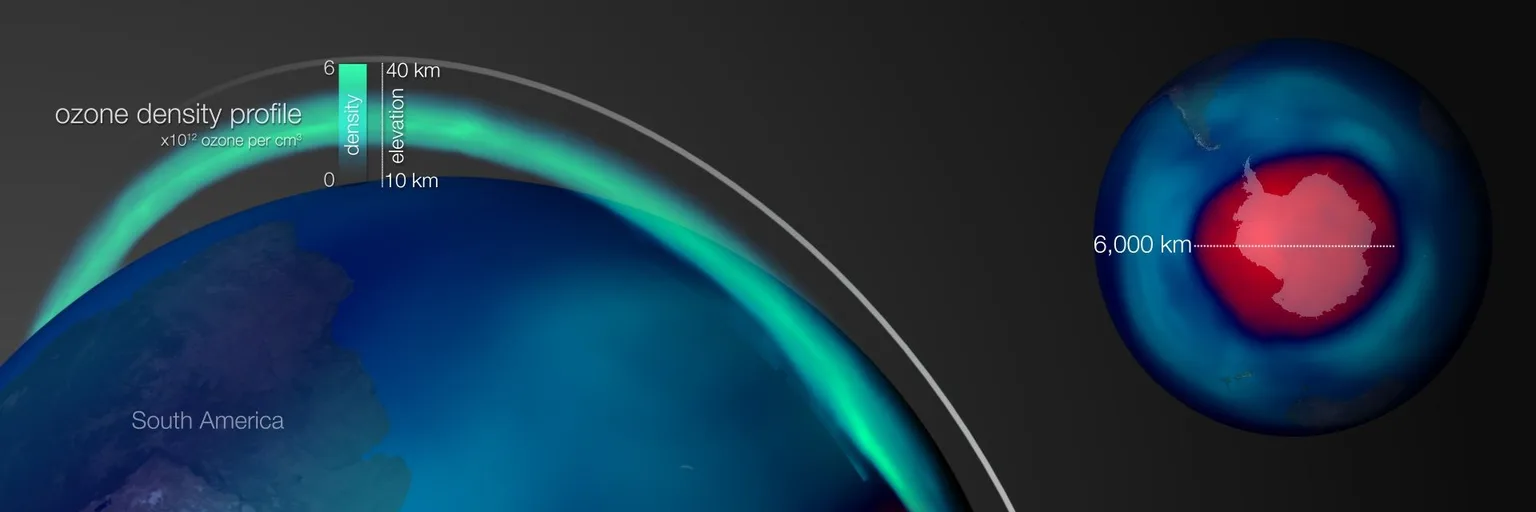
A bigger ozone hole isn't a verdict on the Montreal Protocol
The Antarctic hole is the largest in a decade, but a strong polar vortex, not policy failure, explains it. Recovery is slow and noisy, and one season is not a trend.
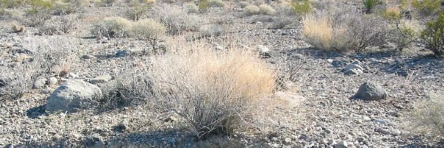
The desert's hidden carbon cycle is a measuring problem, not a rescue
A mineral carbon cycle in the Mojave suggests our carbon books may be missing parts of the arid world, a reason to measure drylands properly, not to hope they bail us out.
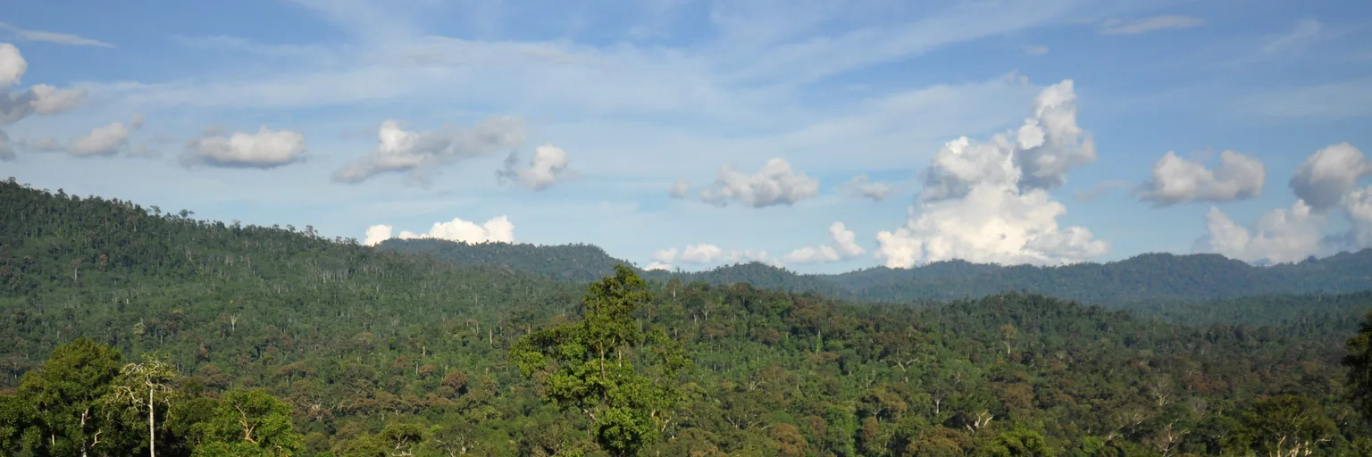
Tectonics built Asia's rainforests, but it wasn't alone
Australia's slow crash into Asia helped fill Southeast Asia's forests with species, but new amber fossils suggest the story starts much earlier and is messier than a collision.
Bird droppings may be the cheapest sea wall tropical islands have
A new Science Advances study suggests seabird guano feeds reefs that keep atolls growing. Protecting the birds looks like smart coastal defense, but it can't stop the sea by itself.